Thursday 31 August 2017

Day 28. Mendicino via the "lost" coast.

So far on this trip we have enjoyed wonderful motorcycling roads and trouble free navigating thanks to pre-planning our routes in a Garmin program and uploading the GPX files onto our GPS units which are wired into our bikes. I spent many hours researching routes, consulting various motorcycling forums, reviewing maps and looking at Google Maps. Today's route ended up being a nightmare! Somewhere in my research I had read a description of the road leading to the Lost Coast, South and West of Ferndale. The route was plotted and off we went. We both took some pause at the sign stating the road was not suitable for RV's, trailers or camper vans but we stuck to the plan. A few miles in we both commented on how bad the road surface was and noted how smoky the atmosphere was. We should have turned around at that point but somehow the promise of a "lost coast" lured us onward.

The 70 mile side trip ended up taking 3 hours as we struggled along a rough, potholed road. The smoke and haze persisted so even the views which probably would have been stellar were almost non-existent. We barely saw any traffic - just an occasional pick-up truck which we would pull over to let by.

The Lost Coast - The only photo we took!

Finally, we made it back onto Route 101 - the road we have been following down the coast. We took the Redwood Highway and rode through the Redwoods, retracing our steps from three years ago. 


We even had our picnic in the same spot! 

After a while we turned off 101 and took CA State Route 1 and the fun began as we twisted and turned our way down the California Coast. Eventually, we arrived in Mendocino and checked into a lovely B&B for the night. We took a walk along the coast pathway - just beautiful.


We ate Supper at the local Pub and I enjoyed a good Fish and Chips. Ultimately, it was a good day!


Wednesday 30 August 2017

Day 27. California.

August 4th I took this photo of the bikes in our driveway, packed, fueled and ready to go with California as our destination:

 Today we made it! 5, 025 miles and a few detours later. 
  We even found a real California poppy!

We bid farewell to the dramatic Oregon coast and saw a lot evidence of firefighting activity as we headed South. We passed an Incident Base and saw many Fire Trucks from many different Western States. The Chetco Bar Fire is currently burning over 125,000 acres. We passed through the town of Brookings which is currently under a Stage 1 (be prepared to leave) evacuation alert. There was a combination of smoke and fog in the air for the first part of our route today but thankfully that was all we had to contend with. I feel very bad for the residents of these affected areas and grateful to the crews that travel into the fire zones to help contain the danger.

Once we were in California, we passed through part of the Redwood Park and ate our lunch in an Elk meadow! No Elk in sight!


We are spending the night in Ferndale, a lovely "Victorian" village. There are many beautifully restored original Victorian buildings, including the Hotel we are staying in. We have had a nice stroll around town and now it is time for Dinner!


Tuesday 29 August 2017

Day 26. An oil change and more Oregon Coast

Our first stop of the day:

They did a great job, got both bikes in for an oil change right away and in short order we were all ready to go:

It was a clearer day today, no obvious smoke but a massive bank of fog lingered out at sea for most of the day. Once again we were left in awe by the beauty of this coast.


We ate lunch siting on a grassy slope looking out at the Cape Blanco Lighthouse.

We arrived at our Hotel in Gold Beach and as we got ourselves sorted out, were reminded that there are still wild fires raging just inland of us. What is a minor inconvenience to us is a real threat to other peoples' property and possessions.

Our room looks directly out onto the ocean and we soon got ourselves down onto the beach. Tom went for a run:

I watched whales spouting just offshore, spotted a seal swimming in the surf and took pictures of footsteps in the sand:


Small Plovers:
And waves:


We truly appreciate how lucky we are!

Monday 28 August 2017

Days 24 & 25. The Oregon Coast.

First thing Sunday morning we crossed the long bridge across the Columbia River and into Oregon. Once again it was a beautiful day.


I was determined that we should ride the Three Capes Scenic Loop and studiously ignored the signs announcing the the loop road was closed. "Surely, they haven't really closed a scenic loop, how could they?" This final sign left us in no doubt!

All I can say is that it was a good job there wasn't a Tsunami!!

We got back on track and took Highway 101, the Pacific Coast Scenic Byway. This is an amazing road, not one to take if you are in a hurry and it was rather busy on a glorious Sunday, with everyone out to enjoy the many beaches and seaside towns we passed through. But we were greeted with amazing views at every turn.


This truly is a spectacular coast. 

We made it to the small town of Yachats, Oregon and checked into our motel for the night. We both went for a run along the coastal path, I spent more time taking photos than running!


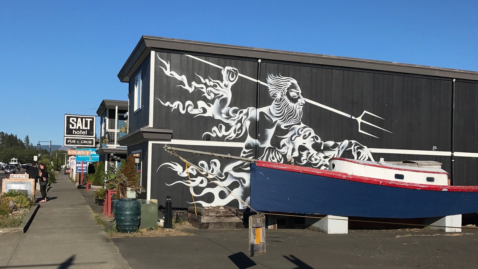
Today, Monday, we really didn't have too far to go as we have scheduled an oil change for the bikes tomorrow and only needed to get another 76 miles down the coast to Coos Bay where there is a Harley Davidson Dealership. Somehow, it still took us all day to make it those 76 miles!
 

We noticed a significant haze in the air and were not sure if it was fog or smoke. We couldn't smell any smoke but there are some significant wild fires to the East of us and I suspect there is a lot of particulate matter in the atmosphere.

We stopped to look at Devil's Churn 

The Heceta Head Lighthouse

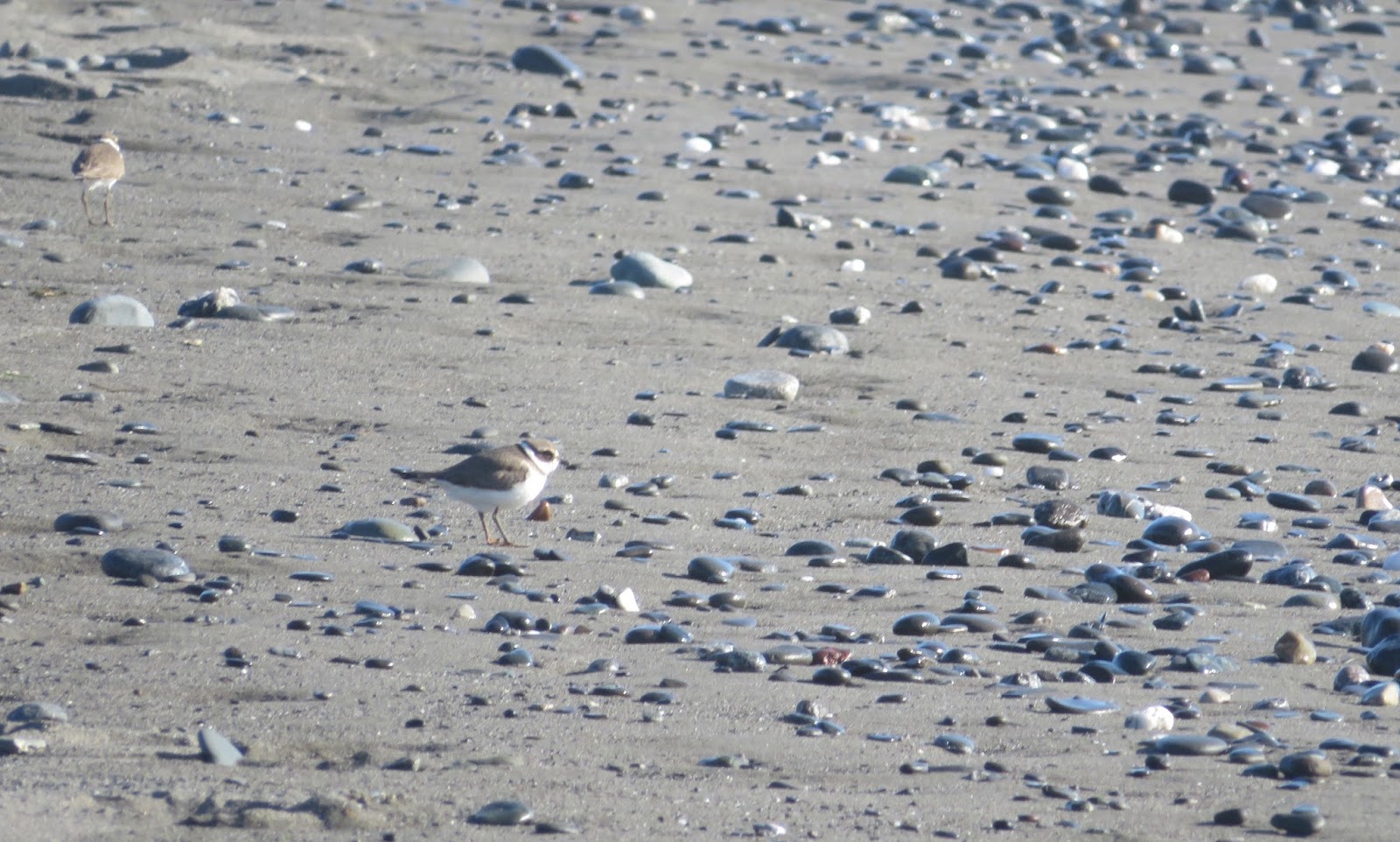
These guys were making a real racket down on the rocks below. I was able to get this shot using my trusty little Canon Sureshot camera!

Then we stopped in the quaint little town of Florence for coffee and sat on a lovely terrace overlooking the Suislaw River and the neat old bridge crossing it.


Next up was the Oregon Dunes National Recreation Area.


and before I knew it, Tom had us in this for the afternoon!


And just like that, it took all day to go 76 miles!!

Saturday 26 August 2017

Day 23. Today's Volcano

After detouring East to see Mount Rainier, we made our way back West again today. We were up and off early (having to put on our heated gear as it was so cold) and had a mission.

We had an amazing ride on empty, windy roads under clear blue skies. By 9:00am we were in sight of this:


We are approaching the West side of Mt St Helens, another stratovolcano, which famously erupted on May 18th, 1980. We had an exhilarating ride closer and closer to the volcano until we reached the Johnston Ridge Observatory.


Up here we were gazing directly at the North face which is the area that blew off in the blast of the eruption. Close up views show the crater and the lava dome which has built up inside the crater since the eruption.


The crater is one mile in diameter and contains a glacier - most of which is covered with rocks and debris, appearing black.

The desolation which still remains all these years later gives some idea of the magnitude of the eruption. We were standing 5 miles away from the Mountain and apparently it took 43 seconds for the blast to reach the area where we stood. The pyroclastic flow from the eruption flattened vegetation and buildings over an area of 230 square miles, the ash plume was 12 - 15 miles high and ultimately circled the earth in ash. The area was heavily forested and there was extensive logging. 3 logging camps, 12 million board feet of logs, 650 miles of roads, 19 bridges and 16 miles of railroad were destroyed.

 This tree was flung by the force of the blast and is buried into the hillside where we stood.
These mangled stumps are all that remain of 50 foot trees snapped like matchsticks by the blast.

We walked down and away from the observatory and paused at the memorial wall bearing the names of the 57 people who lost their lives in this natural catastrophe. Many of the people who died were in what was considered to be a "safe" zone as the power of this eruption was drastically underestimated.
The observatory itself has been named after David Johnston, a geologist who was observing the mountain from the ridge where we stood, on the day it erupted, he did not survive.

It was a fascinating visit and reminds us of the forces of nature and of the fact that we inhabit a living planet.

Tonight, we are in Ilwaco, WA, a funky fishing port. This is our last night in this State, Washington has been very good to us.